A questionnaire about how wild boar hunting statistics are recorded

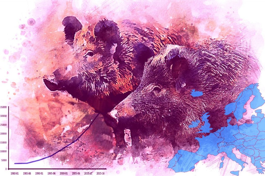
Descargar Cuestionario Questionnaire Download A questionnaire to collect and sharing data about how wild boar distribution and abundance in Europe is recorded The European Food Safety Authority (EFSA) aims at using wildlife abundance data obtained from the European continent for the analysis of the risk factors related to pathogens transmissible to humans and livestock. Currently, […]
Workshops Conclusions & Final remarks of the AGM 2018

Risk assessment, risk analysis and risk management require reliable (high quality) wild population data, which are not available so far. This project, funded by EFSA, is aimed at mapping wildlife species in Europe that are relevant for pathogens transmitted to animals and humans. The objectives that ENETWILD will develop during next years are focused on […]
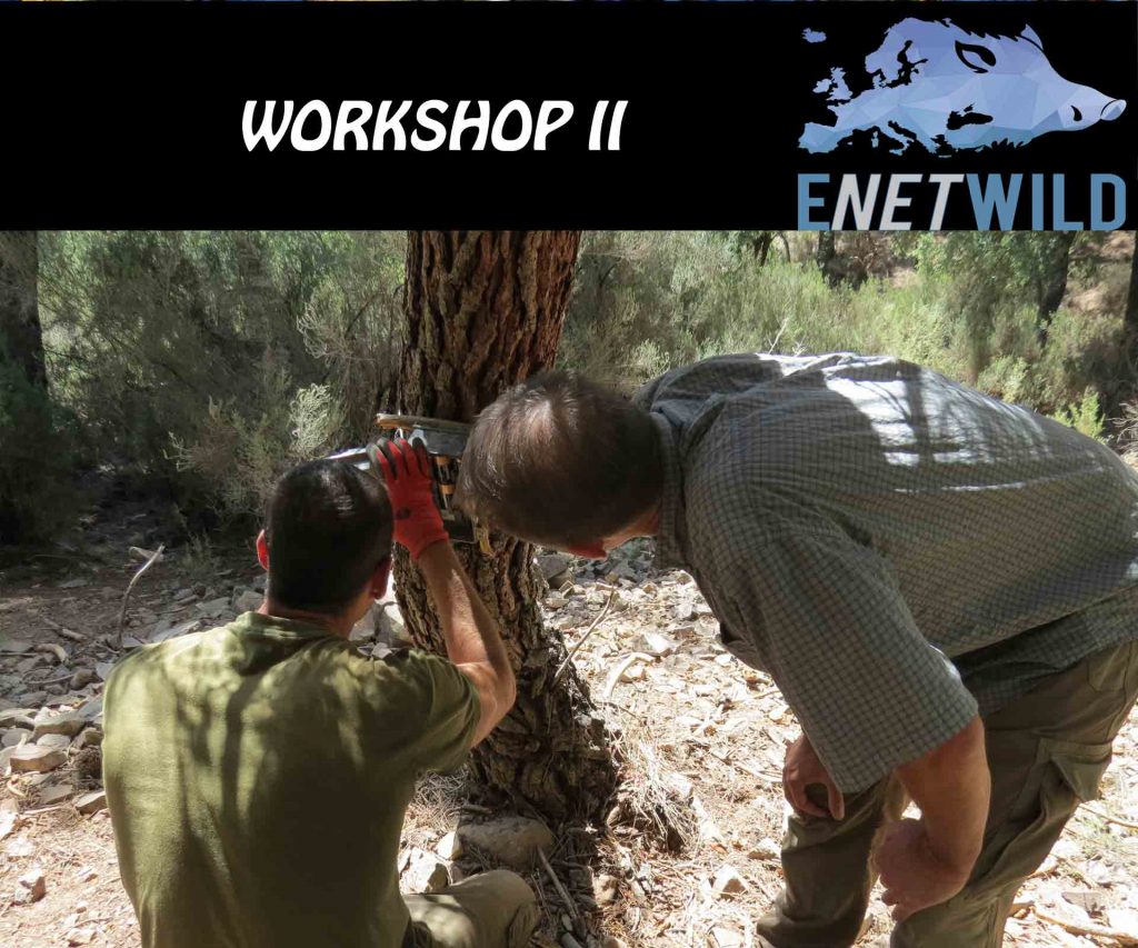
Workshop 2: Practical methods to estimate wild boar abundance

1. How harmonizing practical abundance estimation methods 2. What kind of data can be converted to develop wild boar abundance estimates 1. How harmonizing practical abundance estimation methods Harmonization aims at improving comparability among data collected. To identify which methods are used and rank them in order of how reliable they are. Identify which the […]
Workshop 1: Wild boar abundance and distribution data

1.- What kinds of data are usable for abundance maps (models)? 2.- Where are data? (especially grey/unpublished data) 3.- To review networks/stakeholders with potential to contribute 4.- How approaching data providers 5.- Inputs for the “hunting statistics collection frameworks” 6.- Practical criteria for validation and quality assessment of wild boar presence data 1.- What kind […]
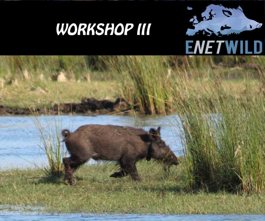
Workshop 3: The model for wild boar data collection

How to improve the Data Model? People and organisation are the same compared to the first section. Instead, the data model will have multiple contact names and emails The geographical Coverage should include a country dropdown choice (incl. Europe-wide) Is there a shape-file describing boundary? And where is it? Methods: use a dropdown choice (e.g. […]
